

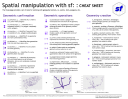
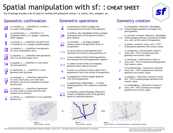
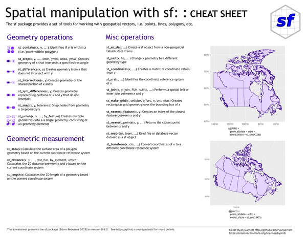
The sf package provides tools for working with simple features — geospatial vectors including points, lines, and polygons. This cheat sheet covers spatial predicates, geometric operations, measurements, geometry creation, and miscellaneous utilities for reading and transforming spatial data.
What’s covered#
- Geometric confirmation – spatial predicates (
st_contains,st_intersects,st_within,st_overlaps, etc.) - Geometric operations –
st_buffer,st_centroid,st_convex_hull,st_union,st_simplify,st_difference - Geometry creation –
st_point,st_polygon,st_linestring,st_multipolygon,st_triangulate,st_voronoi - Geometric measurement –
st_area,st_distance,st_length - Misc operations –
st_as_sf,st_cast,st_join,st_transform,st_read,st_nearest_feature